Sobre
Welcome to Terra Prints - Classic, America's finest selection of antique maps, held in original form by the U.S. Library of Congress, digitized via state of the art, high resolution flatbed scanners and reproduced here using the finest archival inks and paper available.
Our selection includes: Ancient World Maps; Panoramic "Bird's eye view" American and Canadian City Maps; Victorian Era Map Illustrations and Murals; All Terra Prints - Classic products are available in sizes ranging from portfolio prints, perfect for executive gifts and office walls, to colossal murals suitable for large lobbies, foyers and museum exhibits.
Additionally, you can choose from an endless array of custom framing and printing material options.
Mais
Categorias
Exibir todas as categoriasBest Selling Antique World Maps
Visualize Coleção em Destaque
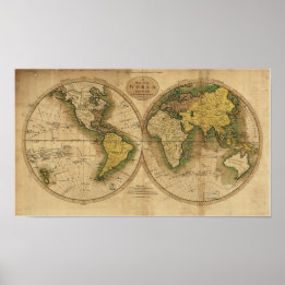
Póster Mapa antigo do mundo - 1795
Preço29,85 €

Poster Mapa antigo do mundo - 1664
Preço30,50 €

Póster Mapa antigo do mundo em 1565
Preço31,90 €
Póster Mapa Mundial Antiquado Rand McNally 1891
Preço23,60 €

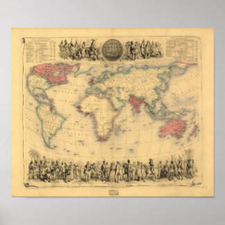
Póster Mapa antigo - O Império Britânico 1850
Preço27,65 €

Póster Mapa Mundial Antiquado Rand McNally 1891
Preço23,75 €
Coleções
Exibir todas Coleções


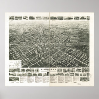
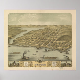
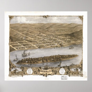
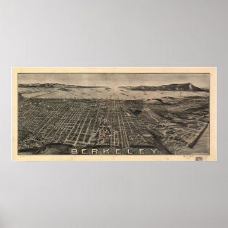
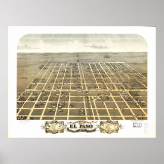
Best Selling Panoramas
18 itens


Victorian Illustrations
4 itens


Antique Maps of Antarctica
5 itens


Antique National Park Maps
8 itens


Best of North Carolina
5 itens


Antique Australia Maps
3 itens


Favorite Railroad Maps
4 itens


Central American Maps
2 itens
Produtos
Exibir todos os produtos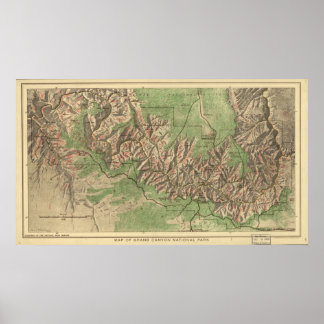


Últimos Produtos Vendidos
Exibir todos os produtos
Póster Mapa Panorâmico da Flórida 1885
Preço70,95 €


Póster Mapa antigo - O Império Britânico 1850
Preço27,65 €


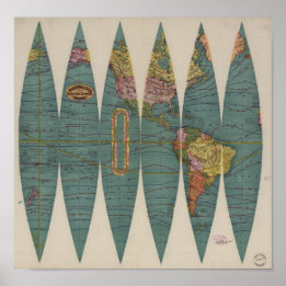
Poster Mapa antigo da América Central - 1902
Preço28,85 €

